Toronto, Ontario
Heritage Foundation
History of the Area
Heritage Districts
Galleries - Homes
Membership
How You can Help
Baby Point Ravine
Recent News
66 Baby Point News
The War of 1812 and The Baby's
Previous Residents Page
Invitation May 24, 2013
 |
 |
 |
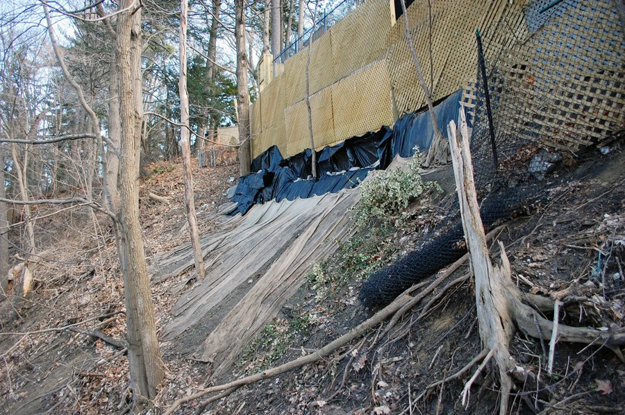 |
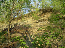
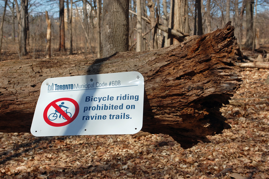
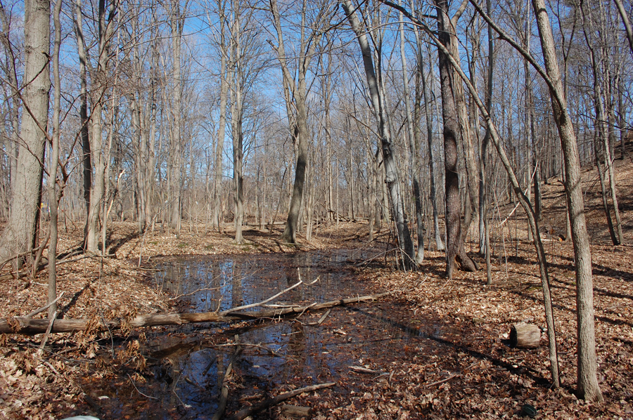
Selected Images of Ravine Erosion - Baby Point Road
Overlooked for Preservation
The Humber Ravine which forms the north boundary of Baby Point Rd. is under constant threat
* * *
Rainwater Runoff
Swimming Pool Catastrophes
Off Trail Dirt Bike Riders
Slope Instability & Slumping
It needs a Neighbourhood wide Comprehensive Stewardship Program
*
Download a Slideshow of the Ravine Area-18Mg {~30 sec.}
URL
{ Baby Pt. Ravine }
A ProShow Gold Slideshow
click download "exe" file and opening image to run!
click download "exe" file and opening image to run!